search.ch

Vier-Quellen-Weg

Regional route No. 49, Obergesteln–Furkapass, Belvédère
  • Image 1

Description

Regional route
No. 49 (Obergesteln–Furkapass, Belvédère)
Length
17 km
Ascent • Descent
↑ 1350 m • ↓ 420 m
Lowest point • Highest point
1353 m • 2476 m
Hiking time
6 h 10 min
Grade
medium (mountain hiking trail)
Fitness level
difficult
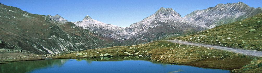
The last stage of the Four Headwaters Trail climbs to the source of the Rhone. You reach the Rhone glacier with magnificent views of the Valais' four-thousand-metre peaks, accompanied by a nostalgic steam train and the serpentines of the pass road. Alpine flora thrives between large boulders.

Height profile

Weather:

Comments about this activity or place?

Thank you for your feedback!