search.ch

Via Alpina

National route No. 1, Linthal–Urner Boden
  • Image 1

Description

National route
No. 1 (Linthal–Urner Boden)
Length
16 km
Ascent • Descent
↑ 1100 m • ↓ 380 m
Lowest point • Highest point
646 m • 1480 m
Hiking time
5 h 20 min
Grade
medium (mountain hiking trail)
Fitness level
difficult (without ascending to Braunwald: medium)
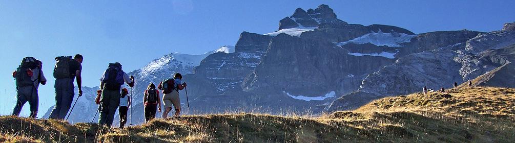
From Linthal via a steep forest path to Braunwald, a sunny depression in the landscape, and on along wooded bands of rock to the largest Swiss alp with 1200 cows. Open, flat, rugged terrain along the Fätschbach river to Urrnerboden.

Height profile

Weather:

Comments about this activity or place?

Thank you for your feedback!