search.ch

Alpine Bike

National route No. 1, Scuol–Tschierv
  • Image 1

Description

National route
No. 1 (Scuol–Tschierv)
Length
31 km
Ascent • Descent
↑ 1200 m • ↓ 820 m
Lowest point • Highest point
1171 m • 2250 m
Grade
medium
Fitness level
medium
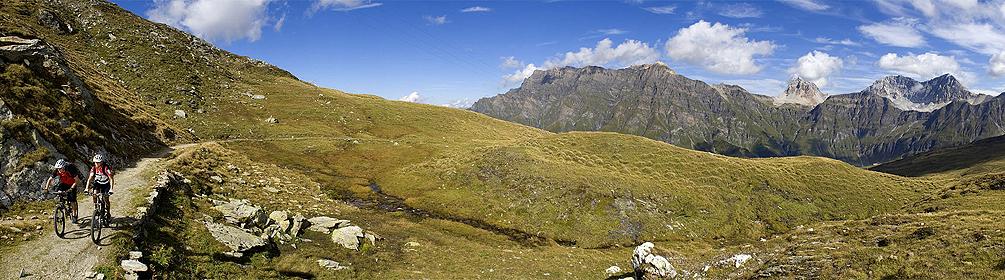
Stunning ascent through the unspoilt Val S-charl on the eastern edge of the National Park, past the quaint hamlet of S-charl and Europe’s highest Swiss stone pine forest. Single trail through mountain pines just before the Pass da Costainas, later through larch woods, over the Lü sun terrace into Münstertal.

Height profile

Weather:

Comments about this activity or place?

Thank you for your feedback!