DE
FR
IT
EN
Directory
Weather
Map / Route
Timetable
Leisure
TV guide
Cinema
Web search
Apps
More
Personal Data »
Login:
Register
Password forgotten
or
Log in with local.ch
Log in with Apple
Log in with Facebook
Log in with Google
Log in with LinkedIn
Please note that our new
privacy statement
as well as the revised
terms and conditions of use
apply.
Leisure
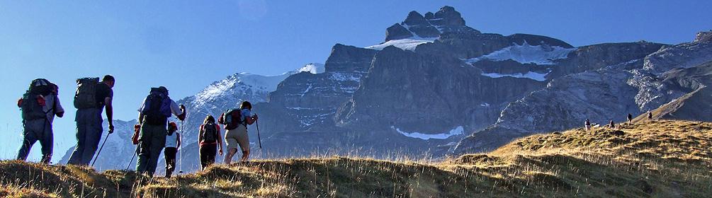
Hike
Via Alpina
National route No. 1, Weisstannen–Elm
Description
National route
No. 1 (Weisstannen–Elm)
Length
22 km
Ascent • Descent
↑ 1400 m • ↓ 1450 m
Lowest point • Highest point
960 m • 2223 m
Hiking time
7 h 50 min
Grade
medium (mountain hiking trail)
Fitness level
difficult
Milk from neighbouring alps is piped to Alp Siez. On Alpine pastures are followed by a narrow ridge of black slate. The terraced alp huts on the other side of the Foopass are an architectural rarity.
Comments on this information?
We welcome your feedback!
Presented by
Route
Height profile
Weather:
More...
Comments about this activity or place?
Incorrect information
Missing information
Another topic
Thank you for your feedback!
Close